
Park Forest ZIP Coverage
USPS material places three codes in a Park Forest postal-label context. Only 60466 is the strong local starting point. The other codes are edge or label cases, not proof that every address lies inside the Village. The USPS address tool must settle the code for each full address.
| ZIP | Area or label found | Post office or route | Park Forest note |
|---|---|---|---|
| 60466 | Park Forest, Illinois | Park Forest Post Office, 123 Indianwood Boulevard | Primary local code; verify each address |
| 60471 | USPS FAST grouping with Park Forest label context | Often linked with Richton Park routing | Edge case, not municipal-boundary proof |
| 60484 | USPS FAST grouping with Park Forest label context | Often linked with University Park routing | Overlap lead only; verify address |
The nearby municipal map adds context. Olympia Fields lies north, Chicago Heights east, University Park south, and Richton Park and Matteson west. Broad local edges include U.S. 30, Western Avenue, Central Park Avenue, and Thorn Creek Forest Preserve. None of those landmarks substitutes for a postal check or parcel boundary.
This Park Forest ZIP code directory keeps postal evidence separate from municipal and county evidence.
The archived USPS postal reference shown here supplies the label context behind the ZIP list.
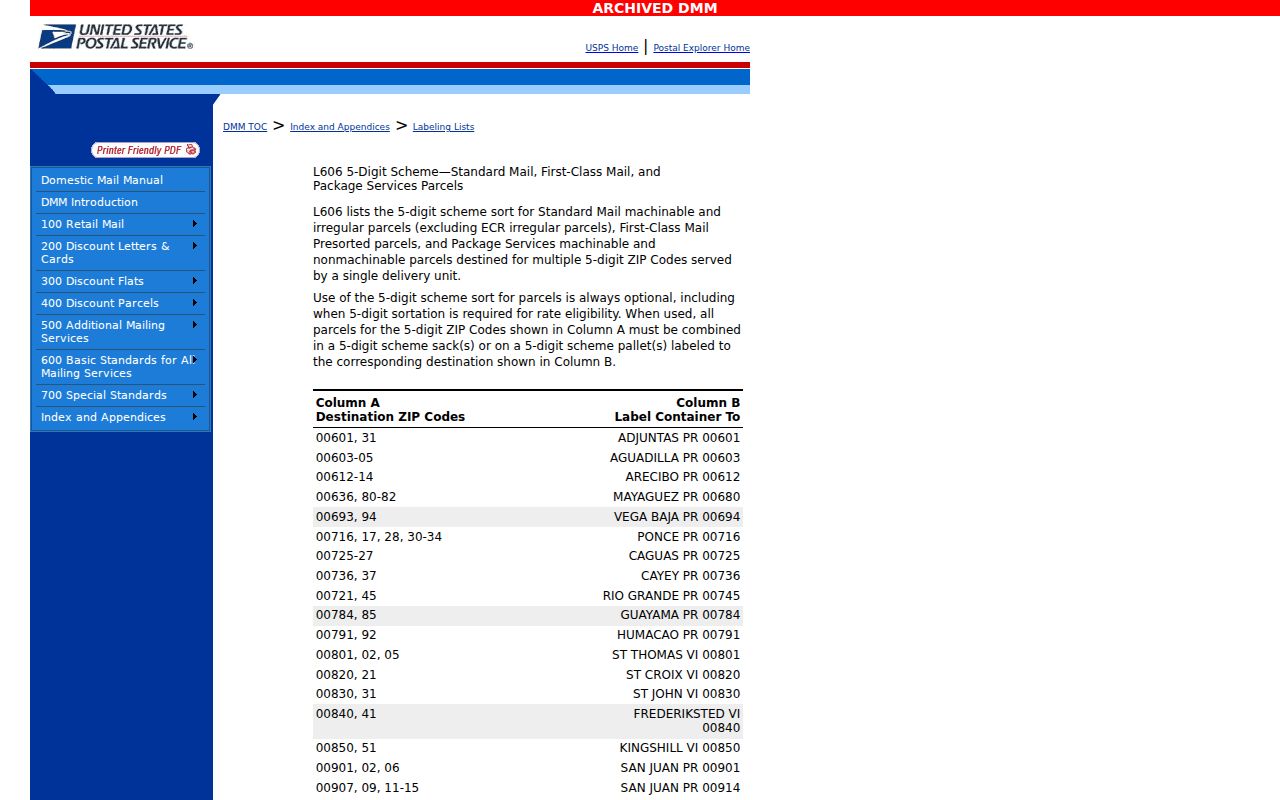
The reference supports a postal grouping only. It does not draw the present Village boundary.
Verify a Park Forest ZIP
The USPS ZIP Code Lookup is the official address-level tool. Enter the complete street address, city, and state. Save the returned five-digit code and ZIP+4 when shown. A name alone cannot produce a reliable postal answer.
Open the USPS lookup shown below to confirm a Park Forest mailing label.
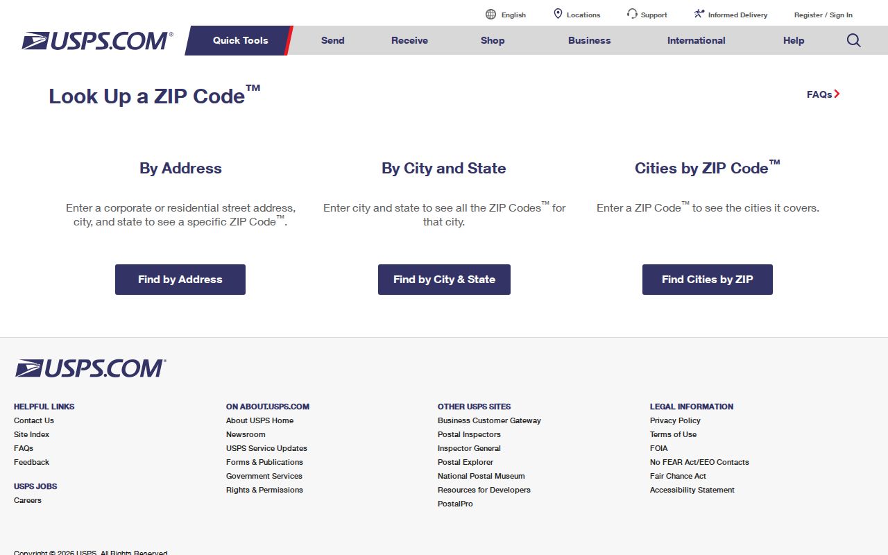
The lookup confirms delivery data. It does not identify the county, township, owner, occupant, voting district, or incorporated boundary.
The Park Forest Post Office record confirms the local station at 123 Indianwood Boulevard and its 60466-9998 station label. Counter staff can help with a delivery question, but county officials control parcels and public records.
See the official Park Forest Post Office listing pictured here for the station-level record.
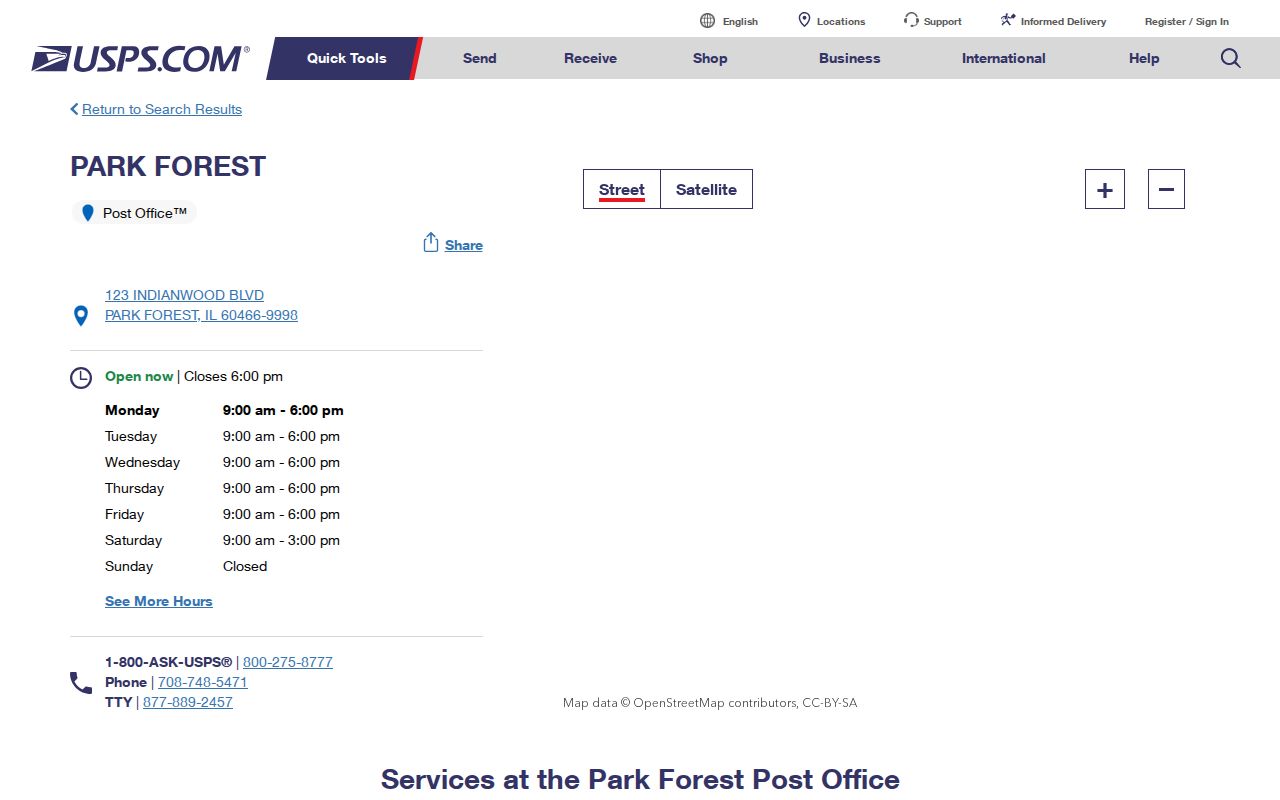
The station listing confirms a postal facility and code, not the Village boundary around every delivered address.
Find Park Forest Residents by ZIP
No official system in the research publishes a public ZIP-wide resident roster. ZIP data narrows the search. Person and parcel records must still be checked one at a time, or requested through a lawful channel with the limits set by the custodian.
- Verify the full mailing address through USPS and record the five-digit code plus ZIP+4.
- Determine whether the parcel sits in Cook County or Will County through the assessor, GIS viewer, or Village map.
- Search the correct assessor by address and preserve the PIN, situs field, and displayed mailing data.
- Use the name and five-digit code only in a portal that asks for both, such as the one-person voter lookup.
- Move to the Park Forest street directory when the task becomes a house-by-house street search.
The order prevents a common error: treating 60471 or 60484 as a promise that an address is within Park Forest. A postal result narrows routing. The parcel result settles county research. The Village map supplies local civic context.
Used this way, the ZIP code directory narrows a place without claiming to identify every person there.
Park Forest Address Search Fields
The county property systems are address-keyed rather than ZIP-browse tools. Cook Assessor accepts a structured street search. Will Supervisor of Assessments uses partial street fields and adds owner-name and other search modes. Neither observed address screen supplied a ZIP field.
| Portal | Field | Required or format | ZIP directory use |
|---|---|---|---|
| Cook Assessor | House Number | Required in address mode | Start with USPS-confirmed number |
| Cook Assessor | Direction, Unit, Street Name, City | Street name required; others vary | Normalize the full address |
| Cook Assessor | CAPTCHA | Required | Public search control |
| Will SOA | Street number, street name, City/Town | Optional partial text fields | Test exact and partial forms |
| Will SOA | Owner, PIN, sale, subdivision, class | Separate search modes | Corroborate after county is known |
CookViewer also accepts PIN, property address, or street intersection. Will County describes a GIS viewer with more than 70 layers, but the live viewer returned an error during research. The Will GIS Division, map gallery, phone, email, and custom-request route are the fallback channels.
Park Forest ZIP in Voter Search
The Illinois voter lookup is the only resident form here that requires a five-digit ZIP at its first step. It also requires first name, last name, and birth date. A later address confirmation may request the street number and street name. The tool answers one registration question; it is not a directory of everyone in 60466.
Broader computerized voter data is restricted under Illinois election law. The statewide file is tied to registered political committees and bona fide political purposes, and commercial solicitation is barred. The district-by-address file carries its own request route and listed fee. Those products should not be presented as an open Park Forest ZIP code directory.
When a response does not match, recheck the person's complete address through USPS and confirm county election jurisdiction. A no-match result can reflect wrong input, a recent move, a name form, or a status rule. It does not prove that a person does not live in Park Forest.
Note: ZIP is one required input in the voter form, not a filter that reveals all Park Forest registrants.
Four Park Forest Address Types
Address words look interchangeable until two records disagree. Park Forest research uses four address types. Label each one in notes so a tax notice, old phone listing, and postal return are not mistaken for proof of the same fact.
- Situs address
- The assessed location of the parcel or structure. Cook says its property location is not a legal or postal mailing address.
- Tax mailing address
- The place where a tax notice is sent. It may belong to an owner who lives elsewhere.
- Postal address
- The USPS delivery label and code. It may cross village, county, or township lines.
- Legal description
- The lot, block, subdivision, or metes-and-bounds wording used in recorded land documents.
- Historical address
- The street and house number printed in a directory for a specific year.
The legal description and PIN are the best bridge when labels conflict. They connect the county assessor, GIS map, and recorder. A historical directory address then adds an occupant or phone entry only for its printed date.
Park Forest Before Modern ZIPs
Park Forest's planned street system predates modern ZIP use. Historical sources often rely on house number, street, and a locality abbreviation. The 1953 to 1954 Illinois Bell Chicago Heights regional book uses PF entries for Park Forest, while local street-address directory leads include several later 1950s and 1960s years.
Do not add a current ZIP to an old entry and assume continuity. Carry the printed address into Park Forest Historical Society street files, Village maps, county plats, or the recorder's legal description. County records may predate the Village's 1949 incorporation, while a later directory may show a household rather than the parcel owner.
The local grid provides one more check. Village material describes about 64.66 street miles and lettered or numbered sectors from A through S and 1 through 15. That pattern can help normalize an old street reference, but it is not a postal boundary or current resident list.
Park Forest ZIPs and Village Limits
A ZIP code is delivery geography. It is not a city limit, township, county, voting precinct, school district, or deed jurisdiction. Park Forest crosses Cook and Will counties and four townships. A postal label can remain Park Forest while the legal record route changes at one of those lines.
The safest sequence is simple: ZIP, USPS address verification, city and county check, assessor or GIS parcel, then recorder legal description. For older research, add the dated directory or newspaper after the parcel is known. Village Hall, the Will addressing office, GIS staff, PFPL, and PFHS supply phone, counter, email, archive, and custom-map help when web tools stop.
Park Forest's official map page pictured below provides community and zoning maps for the civic-boundary check.
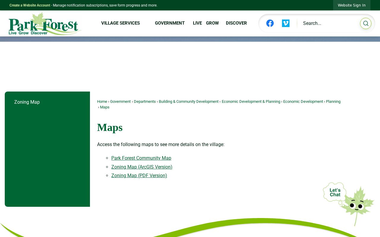
The Village maps supply municipal context after USPS verifies the delivery address.
- ZIP+4
- The four extra digits that narrow delivery beyond the five-digit ZIP.
- PO-box ZIP
- A code or result used for post-office boxes rather than a parcel's situs.
- Unique ZIP
- A code assigned to one large recipient; none was verified for Park Forest.
- Carrier route
- A postal delivery path, not a public list of the people along it.