
Walk a Park Forest Street
The best street-by-street method keeps each fact tied to its source and date. First decide whether the parcel lies in Cook or Will County. Park Forest also crosses Rich, Bloom, Crete, and Monee townships, so a city name alone can point to the wrong assessor or recorder. Use the parcel identification number, or PIN, as the bridge between a map, tax card, and deed index. Then treat names as dated evidence, not as a live household list.
- Enter the complete address in the correct county assessor. Cook supports address and address-range searches; Will supports address, PIN, subdivision, sale, class, and owner-name modes.
- Open the parcel in CookViewer or contact Will County GIS. Note the parcel outline, PIN, intersection, and source date.
- Carry the PIN, legal description, and owner name to the county recording index. Read the latest instrument, then search its grantor and grantee.
- Use the Illinois voter lookup only to test a known person with the required identity fields. It cannot browse everyone on a street.
- For an older household, compare the house number in PFPL, PFHS, and Library of Congress address sources.
This sequence makes the Park Forest street directory useful without confusing title, tax, registration, and occupancy. A deed can prove a recorded transfer. It cannot prove that each named party lived there.
Park Forest Streets Cross Counties
Park Forest's two-county footprint is the key geography fact. Cook-side work uses the Cook County Assessor, CookViewer, and Cook County Clerk Recordings Search. Will-side work uses the Will County Supervisor of Assessments, Will GIS, and the Will County Recorder. The Village boundary, township line, county line, and postal route are separate layers. A street directory search should record all four when the address sits near an edge.
The Village describes broad community edges near U.S. 30, Western Avenue, Central Park Avenue, and Thorn Creek Forest Preserve, with some neighborhoods east of Western. Nearby labels such as Olympia Fields, Chicago Heights, University Park, Richton Park, and Matteson help check context, but they are not substitutes for a parcel result. If the county remains unclear, start with the Village map and each county GIS rather than guessing from ZIP code.
Geography tip. Preserve the county, township, PIN, municipality, ZIP, and source date as separate fields in every Park Forest address note.
Search Park Forest Streets by Range
Cook's advanced address mode is the strongest whole-segment tool on the Cook side. It can take starting and ending house numbers, plus street and unit controls. Will's search is more flexible when the starting point is a name because Owner Name is a top-level mode. Both are assessment systems, not certified title records or complete lists of residents.
| Portal field | Cook Assessor | Will SOA | Street use |
|---|---|---|---|
| House number | Required; advanced range available | Optional partial number | Build parcel candidates |
| Street name | Required | Optional partial text | Find spelling variants |
| City or town | Optional | Optional | Narrow to Park Forest |
| PIN | 14 digits; CAPTCHA | Full or partial, no dashes | Join map, tax, and deed records |
| Owner name | No simple public mode observed | Top-level mode | Test a known Will-side name |
| Other filters | Direction, unit, township, neighborhood, class | Sale, subdivision, class | Separate close addresses |
The Cook County Assessor search warns that Property Location is not a legal or postal mailing address. The Will property portal also carries a courtesy and accuracy notice. Confirm an apparent owner in the recorder record before relying on the name.
View the Will County property search source.
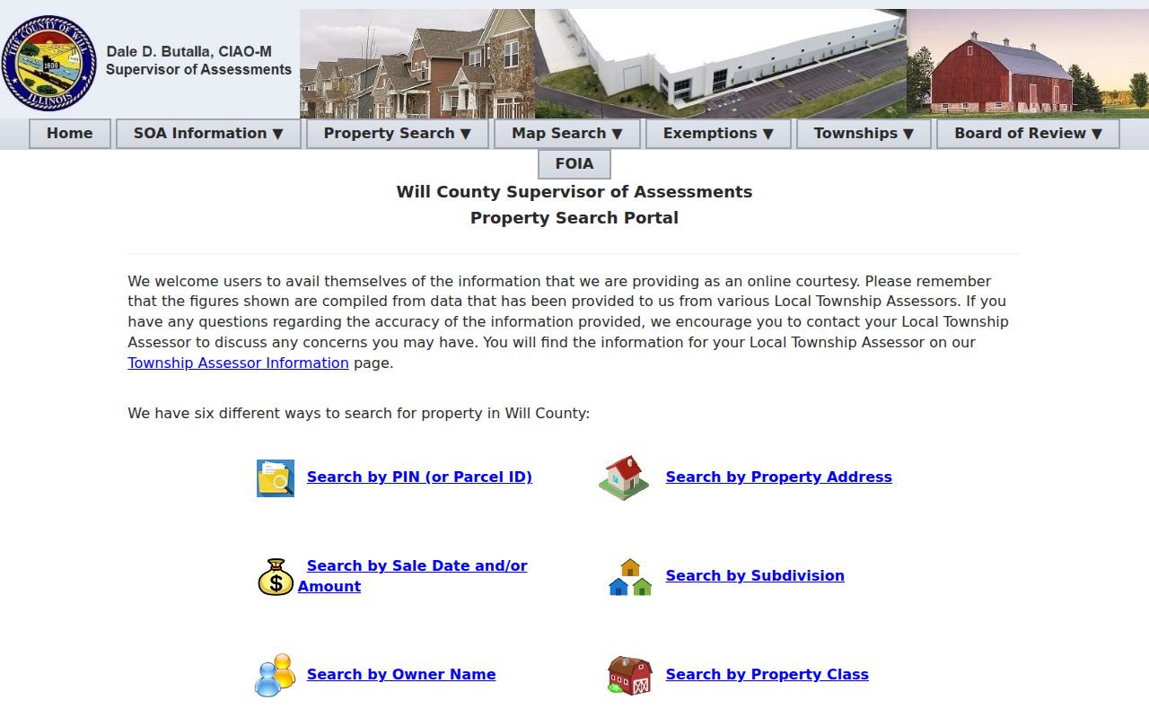
Its multiple search modes are especially useful where the street directory begins with only part of an address.
Park Forest Street Grid Clues
Park Forest was planned after 1946, with first move-ins in 1948 and incorporation in 1949. The Village address-map description counts 64.66 street miles and describes a letter-and-number grid using A through S and 1 through 15. That grid helps normalize a short label in an old directory against a modern parcel or postal address. Keep direction, suffix, unit, and house number intact.
No official citywide street-renumbering or renaming year was found. Do not invent one to explain a mismatch. Instead compare the PIN, lot, block, subdivision, nearby streets, and PFHS Streets file. A historical listing may use the locality abbreviation PF, while a county record may use a legal description and USPS may apply a nearby postal label.
- Parcel
- A mapped unit of land tied to a county PIN.
- Situs address
- The physical property location used by an assessor, which may differ from the tax mailing address.
- Plat
- A recorded map showing lots, blocks, streets, and subdivision boundaries.
- Criss-cross directory
- A book arranged by street and house number rather than only by surname.
Park Forest Records Keyed by Address
No single source answers who lives at every house. Each address-keyed record answers a smaller question. The street directory becomes stronger when the same parcel and date are carried through several custodians.
| Address source | Local keeper | What it can establish | Route or limit |
|---|---|---|---|
| Assessment card | Cook Assessor or Will SOA | PIN, site, class, values, public owner or tax fields | Free web search; not a household roll |
| Parcel map | CookViewer or Will GIS | Outline, intersection, map context | Will viewer fallback is GIS office |
| Recorded instrument | Cook Clerk or Will Recorder | Parties, date, instrument, legal description | Cook reported from 1985; Will from 1965 |
| Permit or code file | Village Building | Work, inspection, releasable applicant | BS&A number or focused FOIA |
| Voter confirmation | Illinois SBE | Status for one known person | No public street roster |
| Historic address book | PFPL, PFHS, LOC | Dated name, address, phone clue | Historical evidence only |
Tax payment pages add account context but do not prove physical presence. A neighborhood program mailer shows a civic zone, not the names of everyone inside it.
The Cook County property-information portal shows its address and parcel route.
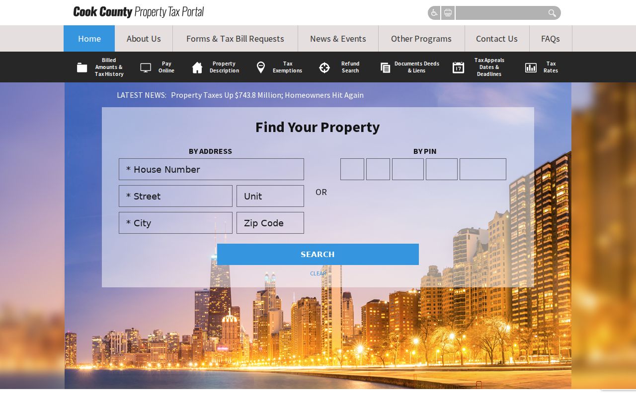
Use the tax screen for parcel context, then confirm legal interests in the recording index.
Map Park Forest Parcels by Street
CookViewer accepts property address, intersection, and several PIN formats. A matching Property Results item zooms to the parcel. Clicking one parcel opens Property Details; a multi-unit property can lead to more than one result. Work one parcel at a time, noting the PIN before moving to the next. The legal description guards against mistakes at corner lots, condos, and shared drives.
Open CookViewer and inspect its address-to-parcel path.
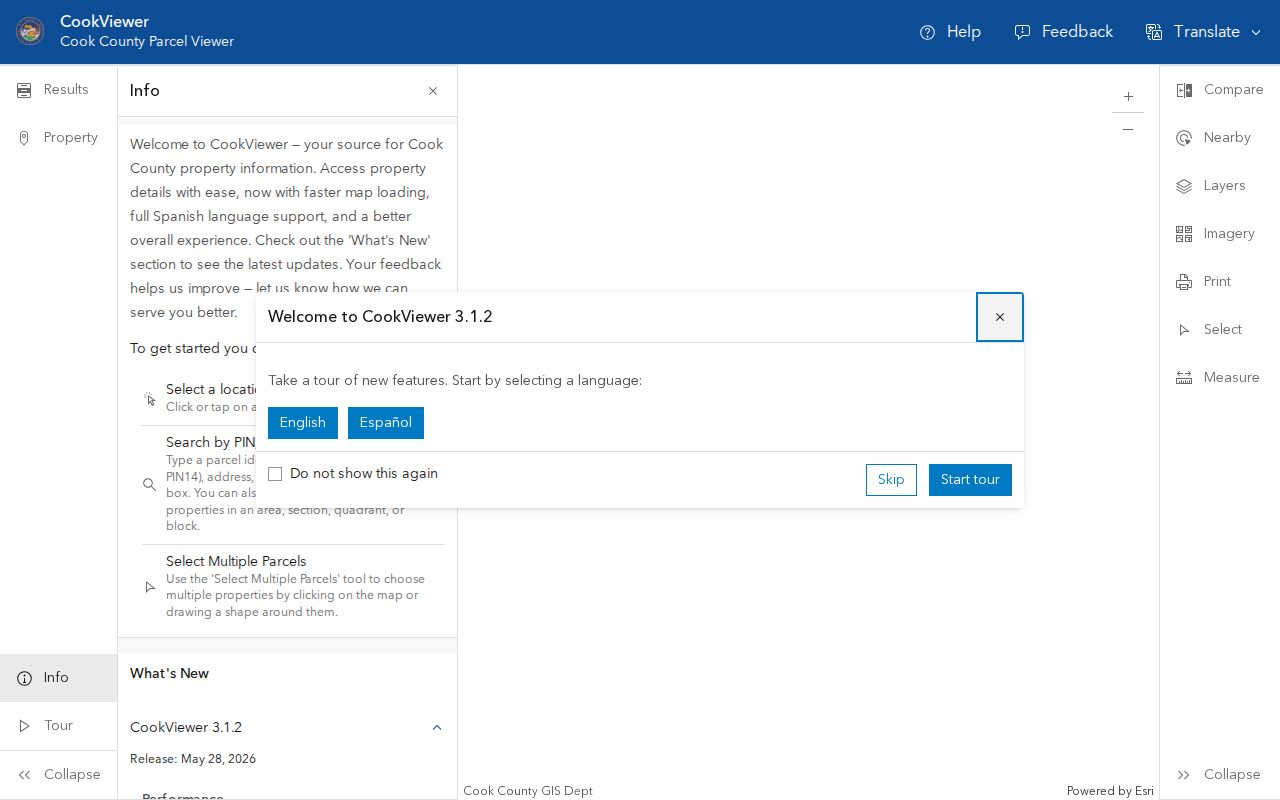
The map view supplies geographic context that a list of street numbers alone cannot show.
Will County describes more than 70 GIS layers, including base, aerial, land-use, hydrology, agriculture, and public-safety information. Because the live viewer failed during research, use the GIS Division's map gallery, data request, office at 302 North Chicago Street, or 815-774-6343. Do not claim a layer or export control that was not observed.
Carry Park Forest PINs to Deeds
On the Cook side, take the PIN and legal description to Cook Recordings Search. Online retrieval is reported for 1985 forward; older work routes through the Clerk, archives, or IRAD. On the Will side, Direct Search accepts name, PIN, address, or book and page. Its address form uses number and street without the suffix plus city, while applicable searches support a percent-sign wildcard.
Start with the newest transfer. Record the document number, recording date, instrument type, book and page or other locator, legal description, grantor, and grantee. Then search the seller as a prior buyer. This can trace legal interests along a Park Forest street, but recorded ownership and residence remain different facts.
The Will address search illustrates the county-side address entry point.
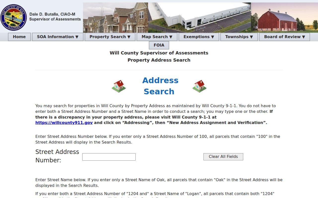
Use the parcel clue in the Recorder index rather than treating the assessor screen as title proof.
Park Forest Permits by Address
Village permit and code records can date a roof, sewer repair, concrete or asphalt work, an addition, or an inspection. Applications may name an owner, applicant, or contractor where the record is releasable. The public BS&A Building Department payment search accepts Permit, Enforcement, Certificate, or PZE Record Number, as well as Invoice Number. It does not provide a complete public address index or a stated coverage date.
Review Park Forest permit types and request routes.
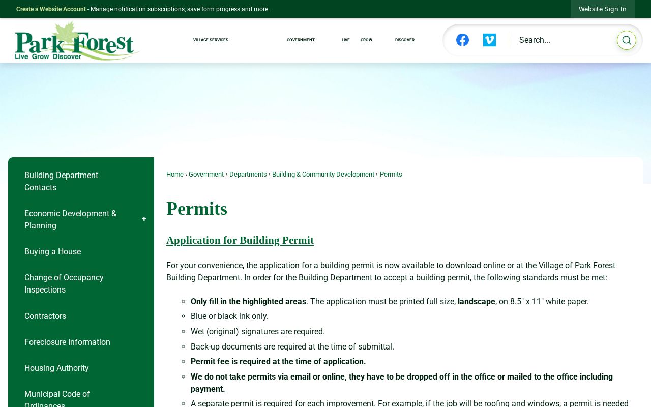
The permit page helps define the type and date span for a focused Building Department request.
The BS&A record search displays the number-based route.
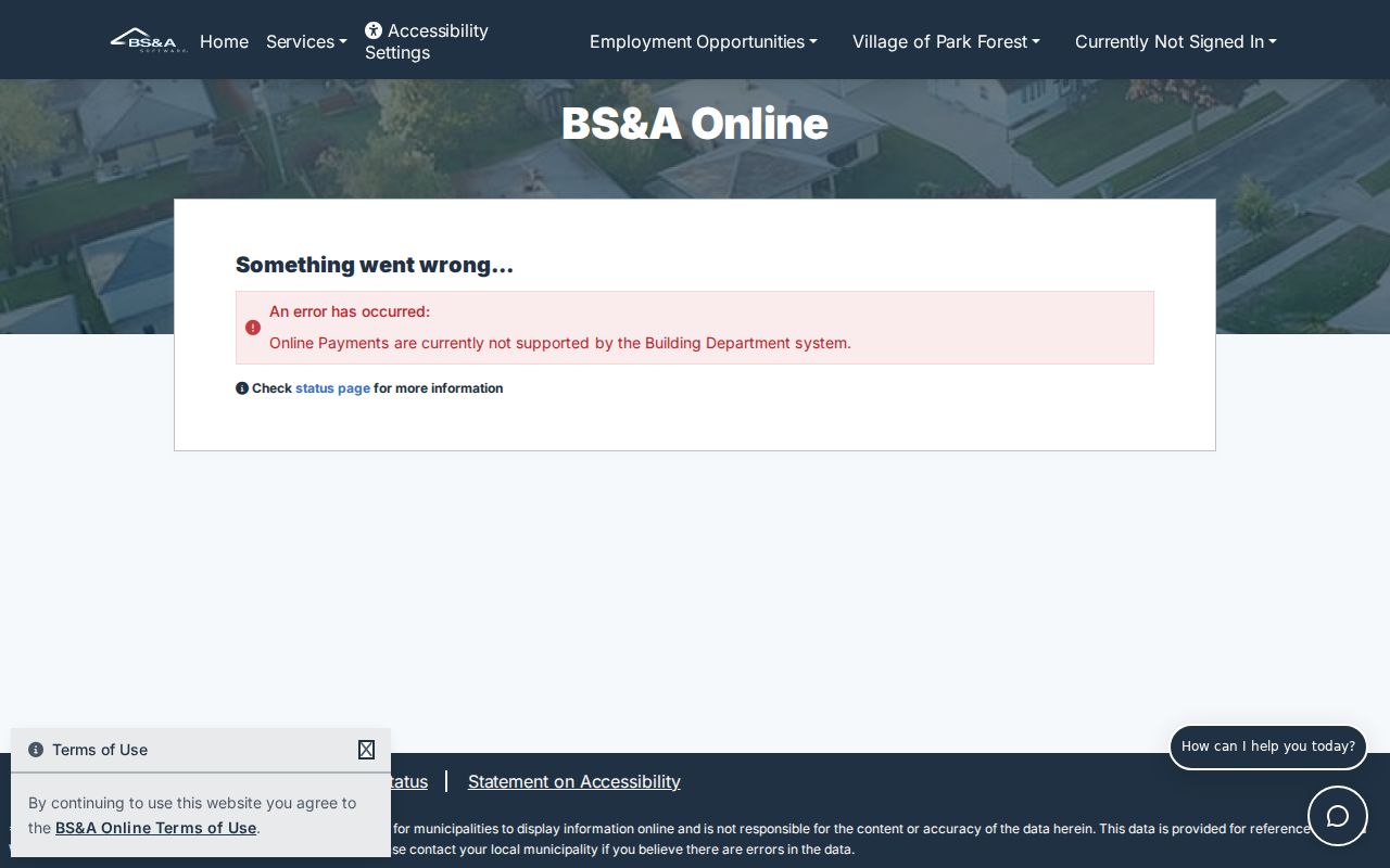
The form works when a permit, enforcement, certificate, PZE, or invoice number is known.
When the number is unknown, send the Village a narrow FOIA request with the exact address, permit type, date range, and preferred electronic format. The Building Department can also be reached at 708-503-7703. An improvement record says what happened at the property, not who occupied each unit.
Voter Evidence Along Park Forest Streets
The Illinois voter lookup asks for first name, last name, birth date, and five-digit ZIP. A later address-confirmation step may ask for street number and street name. This is a one-person check, not a way to open the street and read every registered name. It may miss people who are not registered, whose status changed, or whose information is protected.
The statewide file is governed by 10 ILCS 5/4-8 and is released through an application to eligible political committees for bona fide political use. Date of birth is no longer supplied in that file, and no public street-level download was found. Park Forest's county split means follow-up goes to either Cook County election services or the Will County election office. Treat any match as dated registration evidence only.
Older Park Forest Streets in Print
The 1953 to 1954 Illinois Bell Chicago Heights regional book uses PF for Park Forest and can show a printed name, house number, street, phone exchange, and at times a business or occupation. Local street-address directory leads also identify 1957, 1960, 1963, 1964, 1965, and 1968. Those later years require confirmation with the Park Forest Public Library or Park Forest Historical Society.
Use an old entry as dated address evidence. Compare exact spelling, initials, house number, exchange, image, and page. Then carry the address to the modern parcel and deed chain. The complete historical shelf and reading method belong on the Park Forest city directory page.
PFPL Adult Services at 400 Lakewood Boulevard can check local files. PFHS opens its archive at 227 Monee Road on Fridays from 10 a.m. to noon or by appointment. Phone 708-748-3731 or 708-481-4252 before a visit.
Limits of a Park Forest Street Directory
A parcel card may identify a taxpayer or owner, not every household member. A deed proves a recorded legal interest, not physical occupancy. The tax mailing address may be far from the site address. Voter confirmation excludes unregistered people and may reflect a status that later changed. Driver address data is restricted, and no public Village utility-customer list was located.
Commercial address collections can merge old names, duplicate units, or miss protected people. Official records are slower, but each result has a custodian, date, and correction route. Use the Park Forest street directory for family history, parcel research, civic questions, or reconnecting through lawful channels. Never turn a dated public record into a claim about who is inside a home now.
Lawful use. Do not use Park Forest address records to stalk, harass, intimidate, or expose a protected person.
When online access fails, call or visit the assessor, GIS, recorder, Village Building Department, PFPL, or PFHS. Mail, email, fax, and focused FOIA requests complete the fallback chain.